Tour Overview
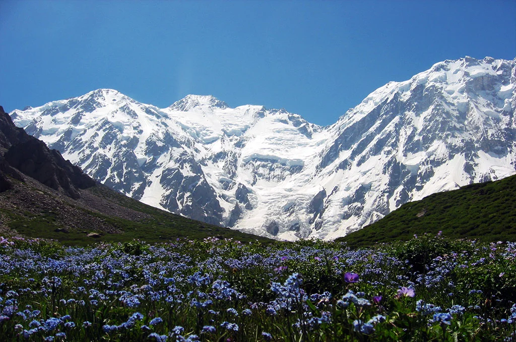
Nanga Parbat has three gigantic faces: the Raikot East face, Diamer West face route, and Rupal South face, with Herligkoffer BC marking the highest point at 4600m from the base camp. The mountain also offers three beautiful moderate treks, along with the challenging Around Nanga Parbat trek.
This strenuous trek involves crossing three high passes: Mazeno La at 5400m, Kado Sagar Pass at 4900m, and Khustu Pass at 4840m. While Mazeno La presents quite technical and challenging terrain, particularly during the descent which is steep and requires rappelling down fixed ropes, the other two passes do not demand technical skills.
Best Departure Seasons
| Season | Temperature | Conditions | Recommendation |
|---|
Tour Itinerary
Your adventure begins as you arrive at Islamabad International Airport. Our team will warmly welcome you and transfer you to your hotel. After checking in, you can relax and recover from your journey. In the evening, a trip briefing will be held where you will meet your guide, receive important information about the trek, complete any remaining formalities, and enjoy a welcome dinner.
After breakfast, we begin our scenic drive towards Chilas. The journey follows the Hazara Motorway before joining the famous Karakoram Highway. Along the way, we pass through Abbottabad, Mansehra, Naran Valley, Babusar Pass (if open), and descend into Chilas. The route offers breathtaking mountain scenery, rivers, and lush valleys.
Altitude: 1,265 m
Distance: Approx. 470 km
Drive Time: 10–12 Hours
Today's drive takes us from Chilas to Astore Valley. Crossing Raikot Bridge and Jaglot, you'll witness spectacular views where the Himalaya, Karakoram, and Hindu Kush mountain ranges meet. As we approach Astore, the mighty Nanga Parbat becomes increasingly visible, dominating the skyline.
Altitude: 2,600 m
Distance: Approx. 130 km
Drive Time: 5–6 Hours
A short jeep ride brings us closer to Tarashing, where our trekking adventure officially begins. The trail passes through green meadows, pine forests, and peaceful landscapes of Rupal Valley. Tarashing offers one of the most beautiful camping locations of the journey.
Altitude: 2,900 m
Distance: Approx. 10 km
Travel Time: 3–5 Hours
Leaving Tarashing behind, we walk through alpine meadows and cross the Tarashing Glacier. The trail gradually climbs towards Herligkoffer Base Camp beside the Bazhin Glacier. Magnificent views of Nanga Parbat, Chongra Peaks, and Raikot Peak surround the campsite.
Altitude: 3,600 m
Distance: Approx. 11 km
Trek Time: 4–5 Hours
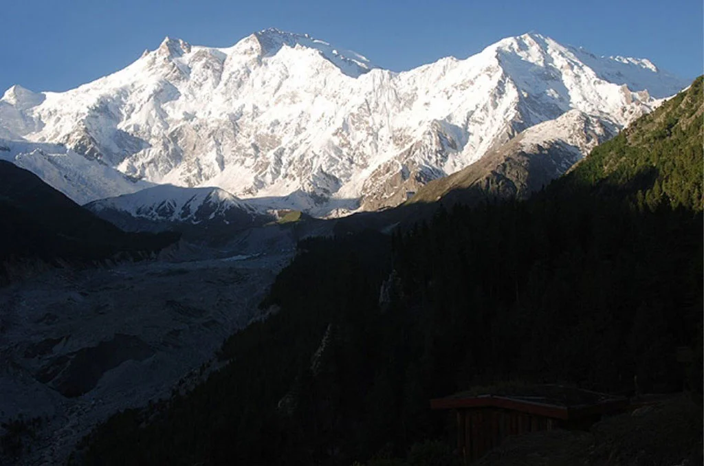
Today's route crosses the Bazhin Glacier before reaching Latobah Camp. This campsite sits directly beneath the famous Rupal Face of Nanga Parbat, known as the highest mountain wall on Earth, rising nearly 5,000 meters above the valley.
Altitude: 3,650 m
Distance: Approx. 9 km
Trek Time: 5–7 Hours
Today's walk is slightly longer as we cross the Shaigiri Glacier. Throughout the trek, stunning views of the Rupal Face remain beside us, making this one of the most scenic days of the expedition.
Altitude: 3,700 m
Distance: Approx. 8 km
Trek Time: 3–5 Hours
We continue through rocky trails, alpine pastures, and mountain streams before reaching Mazeno Base Camp. From here, panoramic views of the Mazeno Ridge and surrounding peaks create an unforgettable mountain landscape.
Altitude: 4,000 m
Distance: Approx. 10 km
Trek Time: 4–5 Hours
Today's climb is more demanding as we gain significant elevation towards Mazeno High Camp. The trail includes steep ascents across rocky terrain before reaching camp near the glacier.
Altitude: 4,700 m
Distance: Approx. 8 km
Trek Time: 5–8 Hours
One of the most challenging days of the trek. We cross Mazeno Pass (5,399 m), the highest point of the expedition, before descending carefully to the beautiful Laibh Meadows. Fixed ropes may be used where necessary to assist the descent.
Altitude: 4,200 m
Distance: Approx. 12 km
Trek Time: 8–10 Hours
Descending from the high mountains, we finally reach Zangot, where signs of local life reappear after several days in the wilderness. The trail passes through grassy fields and mountain pastures.
Altitude: 2,700 m
Distance: Approx. 14 km
Trek Time: 6–8 Hours
Today is reserved for rest and recovery. Guests may relax, explore the nearby village, interact with local residents, or simply enjoy the peaceful mountain surroundings.
Altitude: 2,700 m
The trail follows traditional shepherd routes towards Kutagali, a seasonal grazing settlement. Beautiful alpine scenery accompanies us throughout today's walk.
Altitude: 3,000 m
Distance: Approx. 12 km
Trek Time: 5–7 Hours
Crossing Karu Sagar Pass (4,900 m), we descend towards Shaichi. From here, magnificent views of Nanga Parbat's Diamir Face begin to unfold, becoming even more impressive as we continue.
Altitude: 2,900 m
Distance: Approx. 13 km
Trek Time: 5–7 Hours
Today's trail winds through pine forests, mountain streams, and high-altitude grazing lands before reaching the peaceful campsite at Gutum Sagar.
Altitude: 3,500 m
Distance: Approx. 12 km
Trek Time: 6–8 Hours
We steadily climb towards Jilipur High Camp, surrounded by dramatic Himalayan scenery. The panoramic mountain views from camp are among the finest of the expedition.
Altitude: 4,300 m
Distance: Approx. 11 km
Trek Time: 6–8 Hours
Crossing Khutsu Pass (4,840 m), we descend carefully towards Beyal Camp beside the Raikot Glacier. The route offers outstanding views of glaciers and rugged mountain landscapes.
Altitude: 3,400 m
Distance: Approx. 14 km
Trek Time: 7–9 Hours
A short and pleasant trek brings us to Fairy Meadows, one of Pakistan's most iconic destinations. Surrounded by lush green meadows and directly facing Nanga Parbat, this magical place provides unforgettable views and a perfect ending to the trekking circuit.
Altitude: 3,200 m
Distance: Approx. 5 km
Trek Time: 2–3 Hours
We descend to Tatu Village before taking a jeep ride to Raikot Bridge. From there, we continue by road to Chilas, where we spend the night.
Distance: Approx. 80 km
Travel Time: 5–6 Hours
Leaving Chilas, we travel back to Islamabad via Babusar Pass (weather permitting). If conditions are unfavorable, we use the Karakoram Highway through Besham as an alternative route.
Distance: Approx. 470 km
Drive Time: 10–12 Hours
This day is kept flexible to accommodate any weather-related delays during the trek. If everything goes according to schedule, we will explore Islamabad and Rawalpindi, visit famous landmarks, shop for souvenirs, and enjoy a relaxing final evening.
After breakfast, our staff will transfer you to Islamabad International Airport for your return flight home, marking the end of an unforgettable Around Nanga Parbat Trek adventure.
Services
- Hotel accommodation in Islamabd with bed, Breakfast, Lunch and Dinner
- All airports pick & Drops on arrival and departures.
- Air condition Transportation for Briefing & De-briefing in Alpine club of Pakistan /Ministry of Tourism.
- Standard Hotel accommodation in Chilas with full board service .( in case of Flight Cancelation ).
- Both ways Air condition coaster / mini bus / car between Islamabad - Chilas.
- Sightseeing the capital city of Islamabad
- 4x4 Jeep/Toyotas for a off road Transpotation .
- Licensed professional local guides
- Professional Chef, Assistant Chef, Waiter and Dishwasher
- Food during the Trek (we will serve breakfast, lunch ,Dinner and tea - coffee - snacks during the trek )
- Complete kitchen utensils (crockery)
- Mess tent, kitchen tent, toilet tent mattress, chairs, Tables
- A north face tent provide for member.
- Hot shower and toilet tents.
- Medical first aid kit for group and staff.
- Insurance premium for Local staff and porters.
- Walkies talkie for offline communication with each other during the Trek. .
- Solar panel/ generator for light and battery charging during the trek..
- Way Up & down 25kg allow in our services.
- Documentation.
- Trekking Permit.
- Visa facilitation letter.
- Fee: (CKNP, Bridge crossing, cable crossing, camping)
- Farewell dinner will served in Islamabad.
- Member international flight tickets
- Members any Climbing / trekking gears.
- Sleeping bag and all personal expenses such as telephone calls, fax, email charges, liquor or soft drinks,
- Room service, gratuities for personal services, items of a purely personal nature.
- Any unforeseen expenses (just like road block extra hotel stay ) then members will be pay according to the numbers of days bases.
- And all the services which are not mentioned above list.
- Staff tips, We recommend you to give small bonus for our local staff.
- TRAVEL INSURANCE:- It is a strongly recommend that while booking treks and tours with us that travelers/trekkers must be protected by insurance themselves that covers cancellation, accidents, health, emergency evacuation, and loss of items, or damage to baggage and personal effects.
Location on Map
Photo Gallery
Frequently Asked Questions
The Around Nanga Parbat Trek is considered a challenging high-altitude trek. It involves steep ascents, rocky trails, glacier crossings, and long walking days. Trekkers should have good physical fitness and some previous trekking experience.
The trek usually takes 18–22 days, depending on the itinerary, weather conditions, acclimatization schedule, and the starting and ending points.
The best time for the Around Nanga Parbat Trek is from late June to early September. During these months, the weather is generally more stable, the trails are accessible, and mountain views are at their best.
Hiring a local guide is highly recommended for safety and navigation, especially when crossing glaciers and remote mountain passes. Depending on the latest local regulations and your nationality, permits or registration requirements may also apply, so it is best to check with local authorities or a licensed trekking operator before your trip.
The cost varies depending on the tour operator, group size, and services included. On average, a fully organized trek costs between USD 2,300 and USD 2,700 per person, including guides, porters, camping equipment, meals, and transportation within Pakistan. Private and customized trips may cost more.
Book Your Tour
Client Feedback
Customer Reviews
See what our clients say about their experience
No reviews yet. Be the first to review this tour!
Write a Review
Explore Further
Related Packages
K2 Base camp & Gondogoro La Trek
K6 & K7 Basecamp Trek
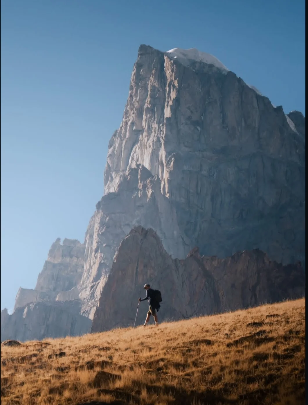
Nangma Valley Trek
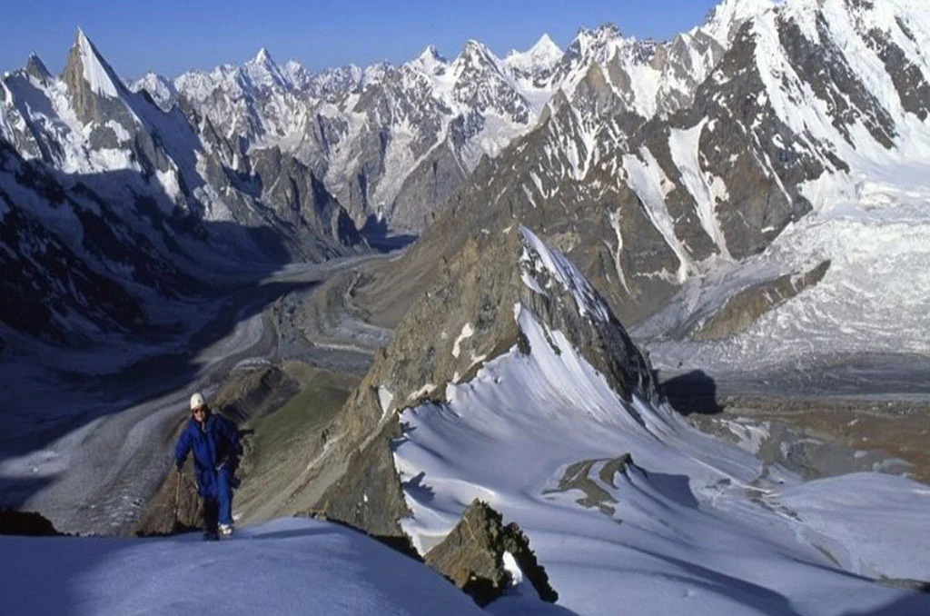
Gondogoro Peak 5,585 meters (18,323 feet)
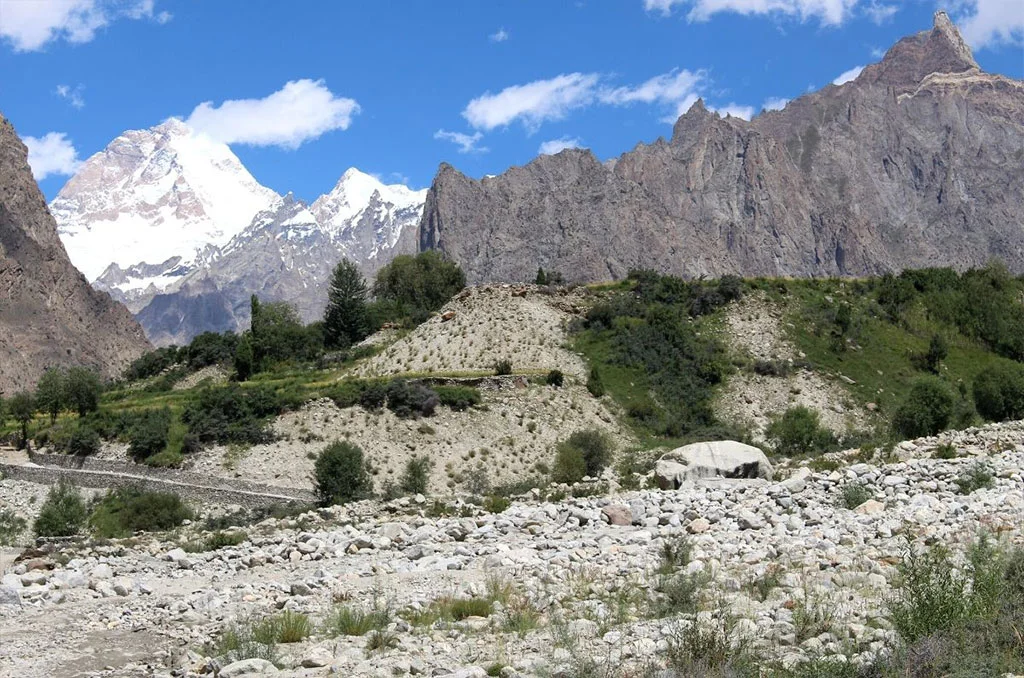
Mashabrum Base Camp Trek
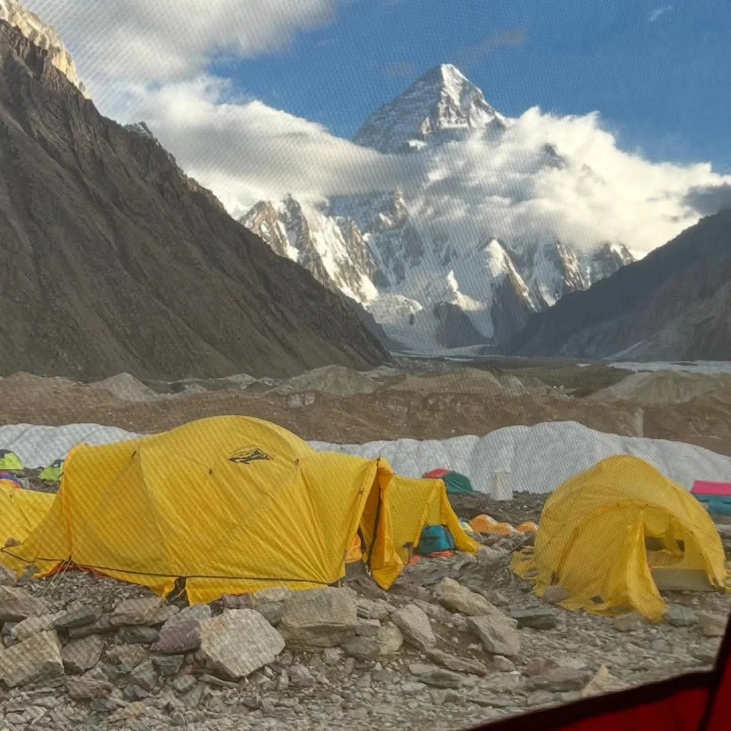
K2 Basecamp Same Route Trek
Shilla Pass Trek ( 4,000m / 13,100ft )
Around Nanga Parbat Trek
Snow Lake and Hisper la Trek
Laila peak Base Camp Trek
Moses Peak (Barah Broq) Trek.
Tirich Mir Basecamp Trek
Thallay La Trek (4572 m)
Feedback